Welcome to Gaviota State Park

Recreational opportunities at Gaviota State Park’s 2,712 acres include several hiking and multi-use trails that lead into oak woodland and chaparral backcountry, natural sulfur hot springs, and impressive lookouts with sweeping views of the Channel Islands, Point Conception, Gaviota Pass, and the Lompoc Valley. Other day-use activities include equestrian trails, picnicking, fishing, scuba diving and snorkeling, swimming, windsurfing and surfing, and geocaching. There are thirty-nine overnight campsites, which include family sites, hike or bike campsites, and RV sites. Visitor facilities at Gaviota include a camp store, restrooms, and showers (indoor and outdoor).

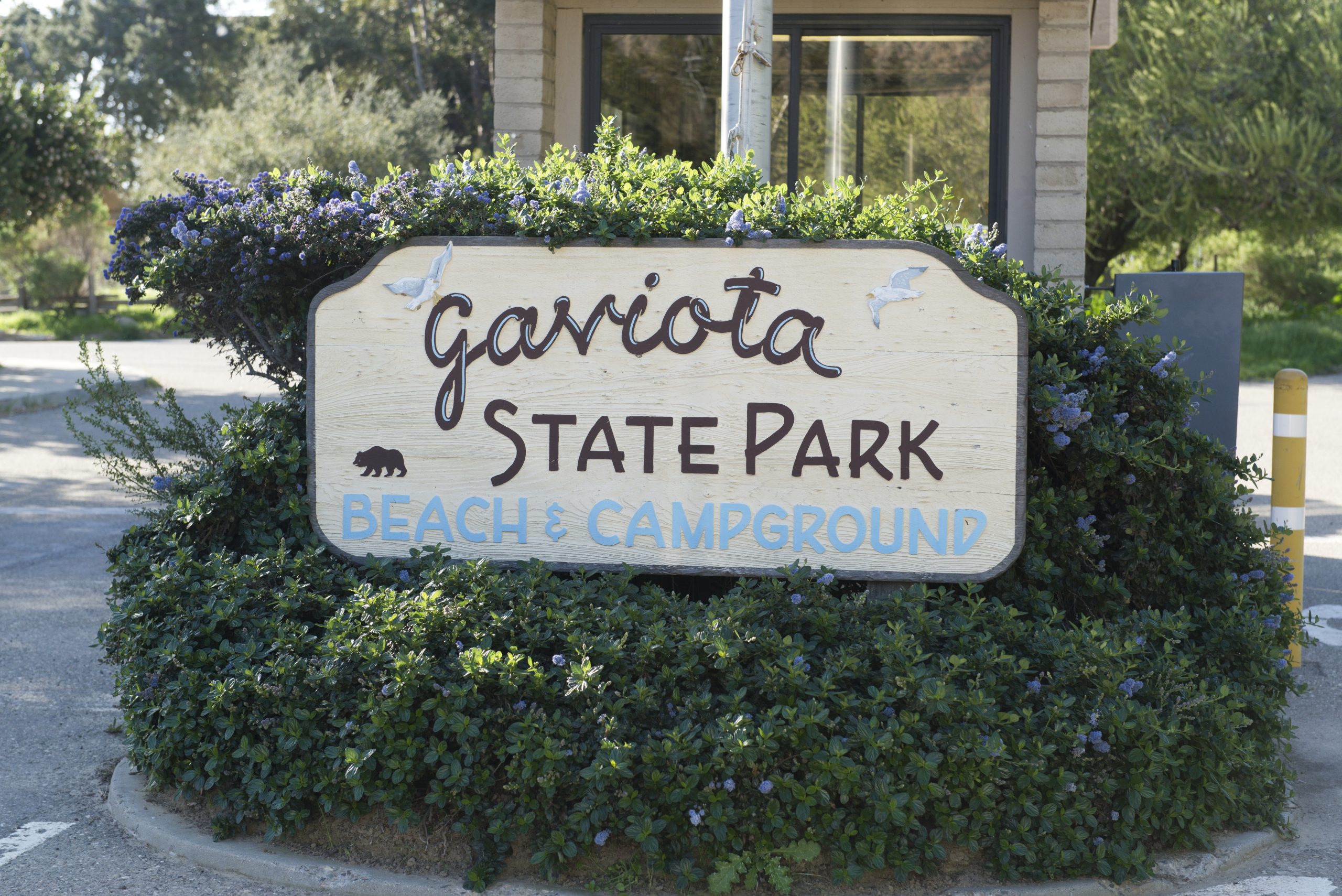
Gaviota State Park sign
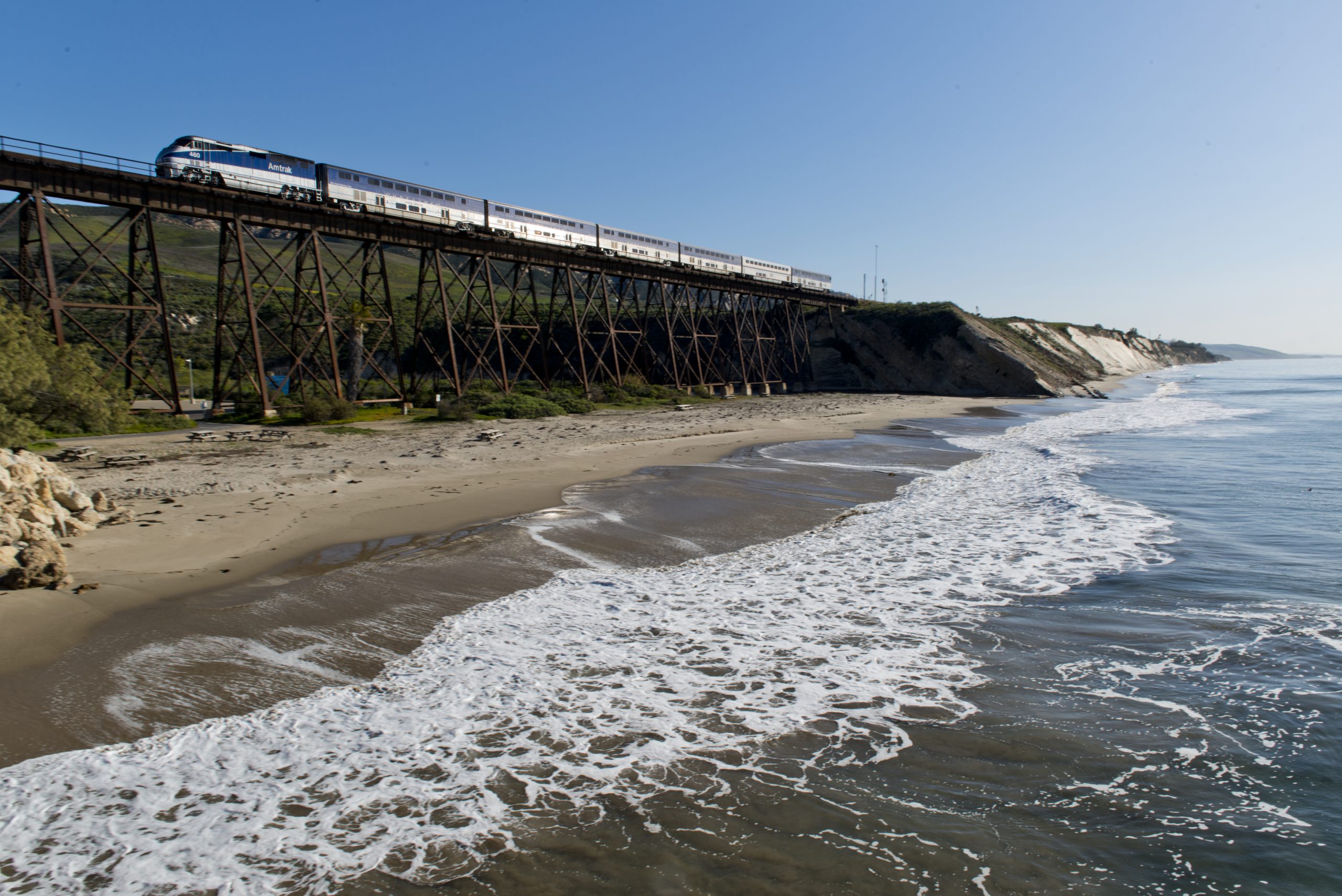
Gaviota State Park ©2013, California State Parks

Gaviota State Park is ecologically diverse and includes a variety of habitats including grasslands, oak woodland, chaparral, coastal sage scrub, riparian areas, freshwater aquatic habitats, freshwater marshes, coastal strand and salt marshes, and marine habitats. Kashtayit State Marine Conservation Area (SMCA), an area dedicated to conserving and restoring ocean biodiversity, protecting cultural resources, and allowing marine recreation activities and research, is adjacent to Gaviota State Park.

Gaviota State Park includes significant known archeological, tribal, and historic resources, including the Las Cruces Adobe.

Adapt, Renew, and Preserve

To ensure a sustainable future for Gaviota State Park, the general plan update will identify and address land management and operational challenges.

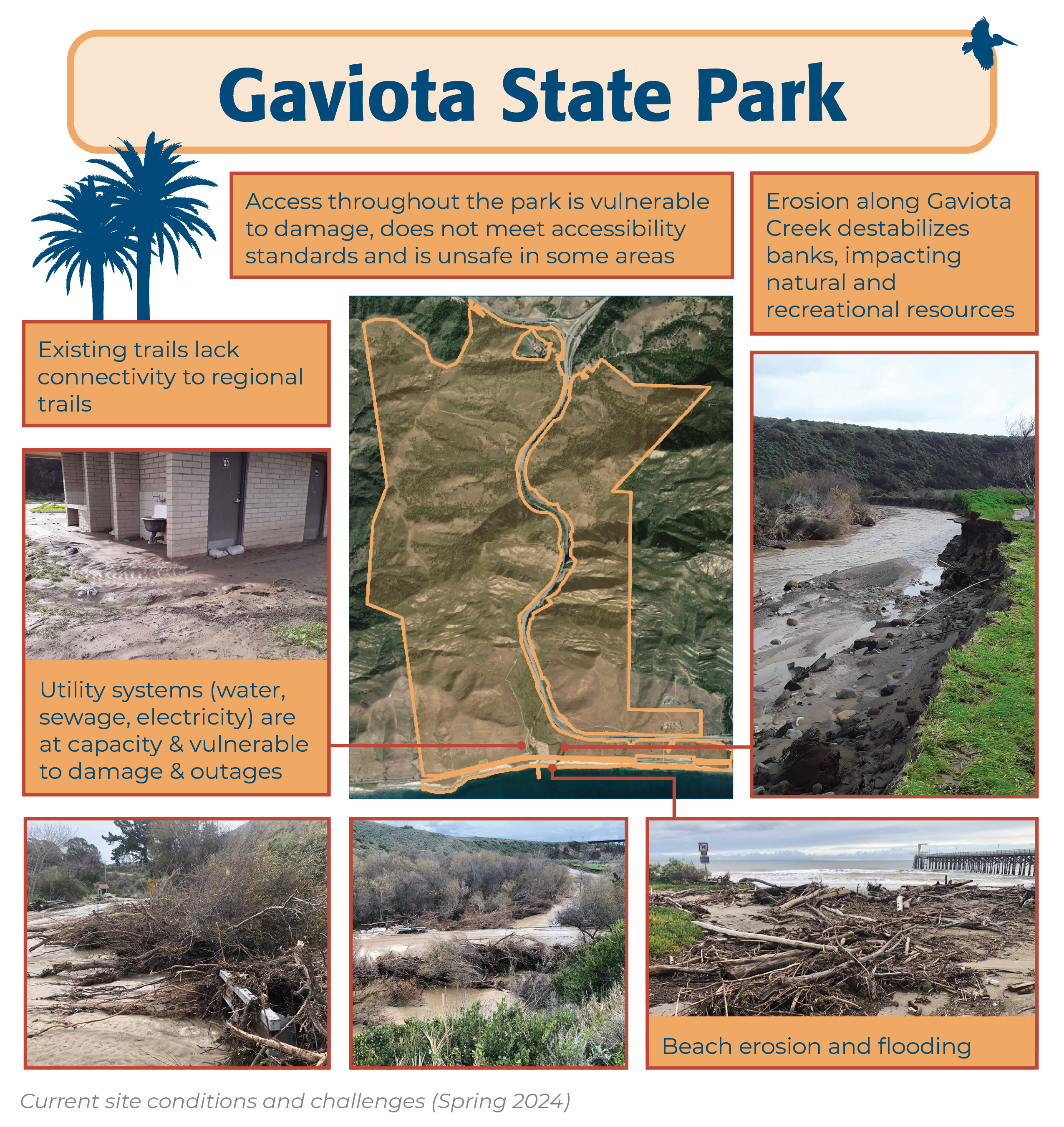
Current site conditions and challenges at Gaviota State Beach, as of Spring 2024, include the following:

  • Access throughout the park is vulnerable to damage, does not meet accessibility standards and is unsafe in some areas.
  • Erosion along Gaviota Creek, intensified by existing infrastructure, destabilizes banks, impacting natural and recreational resources
  • Beach erosion and flooding damage infrastructure and limit access.
  • Utility systems (water, sewage, electricity) are at capacity and vulnerable to damage and outages
  • Existing trails lack connectivity to regional trails.
A photo of the Gaviota State Park entry road, covered in mud and water. In the foreground, the bridge railing is blocked with vegetation, including broken branches of considerable size. The entry kiosk is visible in the distance.
Gaviota State Park (c) 2023, California State Parks
A photo of driftwood, rocks, plastic litter and other storm debris on the Gaviota beach. The Gaviota pier, calm ocean, and cloudy sky are visible in the background.
Gaviota State Park (c) 2023, California State Parks
A photo showing the aftermath of flooding at the Gaviota State Park restrooms. The ground around the building is covered with mud and flattened grass. Two sandbags have been placed in front of one restroom door. Footprints in the mud indicate that the sediment is several inches deep.
Gaviota State Park (c) 2023, California State Parks
A photo of Gaviota Creek and the adjacent campground depicts a freshly eroded creek bank with broken pipes protruding out of the bank toward the creek. The ground around the picnic tables and fire rings in the campground is covered with mud and flattened grass. A broken section of asphalt cantilevers over the creek downstream and the Gaviota railroad trestle is visible in the distance.
Gaviota State Park (c) 2023, California State Parks

Learn More

For additional information about Gaviota State Park, visit the Park Website.
Follow Gaviota on social media:


Gaviota State Park ©2013, California State Parks